Contents
Index
Bulk Data Input
Existing Plan
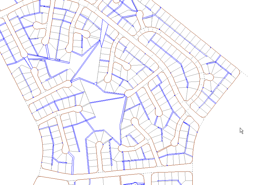
Consider a cadastral area built from digitized data as follows:
Update Plan
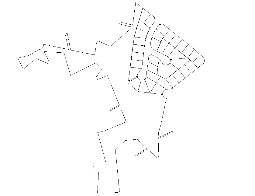
Now, suppose we receive a new subdivision which we can build up from the subdivision dimensions and it looks like this.
Join the new on top of the old using the
boundary points and have the system work out the linkages for all the internal points which
are represented in the new data and also flag the old lots as "superseded".